

1
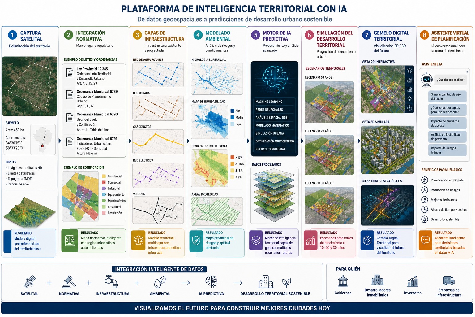
Territory Capture and Delimitation
Objective
Precisely define the area of analysis on which the urban development simulation will be run.
Inputs
- High-resolution satellite imagery
- Geographic coordinates
- Cadastral boundaries
- Urban expansion polygons
- Topographic information
Outcome: Georeferenced digital model of the base territory.